Laser scanning in plant engineering
Laser scanning in plant engineering
Key Takeaways
- Laser scanning enables the precise digital recording of existing industrial plants as a basis for conversions, extensions and technical documentation.
- The CONENGA Group creates high-resolution 3D point clouds and digital plant models for industrial, energy and power plant facilities.
- Modern laser scanners capture complex system geometries without contact, even during operation and under difficult access conditions.
- Scan-to-CAD processes enable planning to be carried out directly on the basis of real as-built data and collisions to be identified at an early stage.
- The CONENGA Group combines laser scanning, CAD integration and technical planning to create an end-to-end digital working basis for industrial projects.
What does laser scanning mean in plant engineering?
Laser scanning is a process for the high-precision digital measurement of existing industrial plants and technical systems. Real plant structures are captured as three-dimensional point clouds and used for planning, documentation and technical development. The data generated serves as the basis for conversions, extensions, collision checks and digital models. The CONENGA Group supports industrial companies with modern laser scanning technology, scan-to-CAD integration and direct further processing of the data in technical planning processes.

Dominik Gappmaier
I am looking forward to answering your questions
Dominik Gappmaier is your expert when it comes to laser scanning!
Would you like to find out more? Should we call you or would you like to receive further information by e-mail?
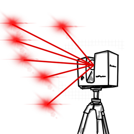 Precise 3D data for complex industrial plants
Measurement – documentation – visualization
We create the digital image of your system
We use the latest laser scanning technology to record your existing systems efficiently and in great detail – the ideal basis for conversions, extensions or technical documentation. Every measurement counts, especially in plant construction – we provide the reliable data.
Specialized in industrial & energy systems
Whether power plant, waste incineration plant or energy center: our scanning systems enable seamless and contactless surveying – even under difficult conditions or during operation.
The results: high-precision point clouds, realistic models and true-to-scale plans that you can use directly for your planning.
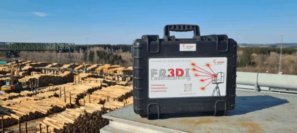
FR3DI - the CONENGA Group's laser scanner in use at an industrial plant
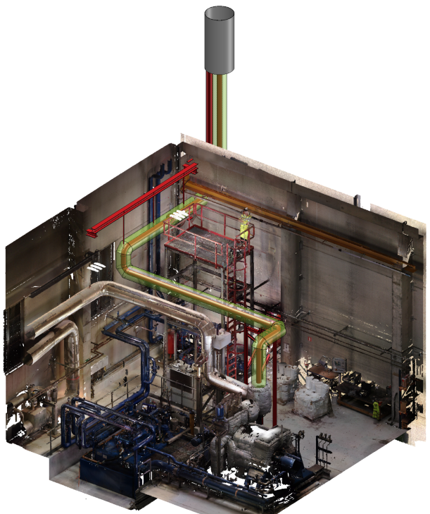
CONENGA Group Laser scanning: point cloud with color overlay
Technical precision for the highest demands
Our laser scanners work with the latest technology:
- Range up to 70 meters with high point density
- Measuring accuracy up to ±1 mm
- 360° all-round scans with high resolution
- HDR color scans for improved orientation and documentation
- Fast data capture – even with restricted access
Scan-to-CAD & virtual tour: Your system as a digital model
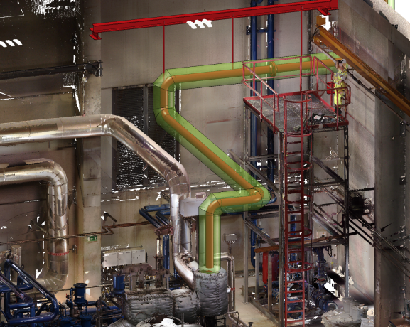
Construction of a new pipeline directly in the point cloud
A particular advantage for our customers: Our own design department processes the recorded point clouds directly.
We seamlessly integrate the scan data into our CAD systems and design directly in the digital image of your system – precisely, quickly and without friction losses. We also provide you with the complete point cloud including a virtual tour.
With the free downloadable viewer ( FARO) you can move through your system at any time – ideal for:
- internal coordination
- Technical meetings
- Planning in a team or with external partners
- Visual documentation and orientation
Your benefits: You save time-consuming on-site appointments, make well-founded decisions and provide all project participants with a precise, shared data status.
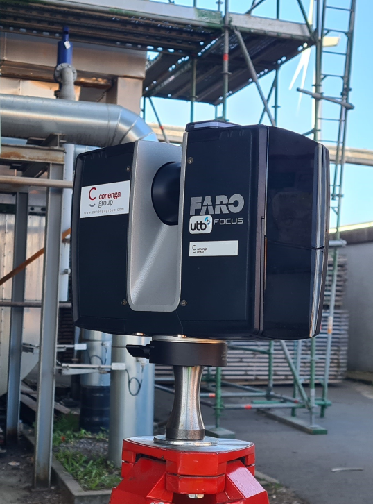
FR3DI - the CONENGA Group's laser scanner at work
Typical areas of application
- Conversions and extensions
- Collision tests for new components
- Revision & inventory documents
- Digital twins for maintenance, servicing and planning
- Dismantling and decommissioning projects
Your advantages
- High-precision, non-contact detection
- Efficient and complete data collection – even during operation
- CAD-/BIM-compatible data formats: DWG, STEP, e57, RCS and many more.
- Virtual tour included – perfect for meetings & project coordination
- Everything from a single source: scanning, evaluation, CAD planning
- Full access to the point cloud and the 3D tour with free and license-free software
Why us?
- Focus on plant engineering and industry
- High-performance scanners & experienced specialists
- In-house engineering department for seamless processing
- Flexible, fast & reliable
- Personal advice and customized results

 Enquire now!
Are you planning a project in an existing building?
We will show you how laser scanning, virtual tours and integrated CAD processing can help you plan faster, more reliably and more efficiently.
Regardless of whether you already have specific ideas or would like to find out more about laser scanning in general – we will be happy to support you in an initial exchange. We look forward to hearing from you!
Further information:



Unsere Kunden